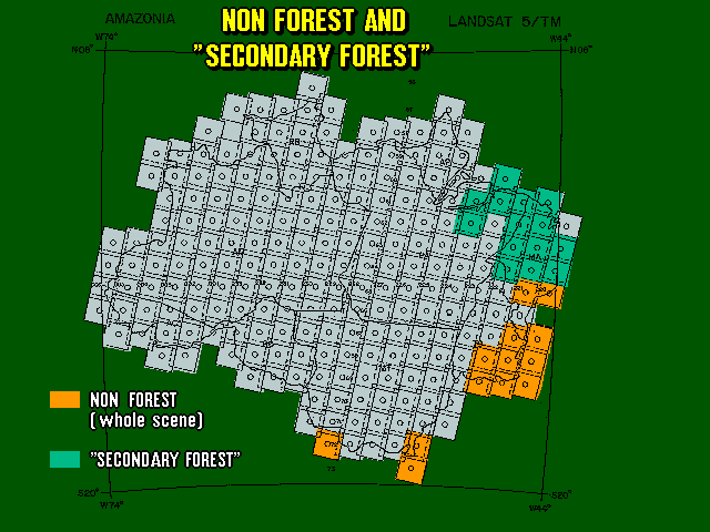
The smallest areas included in the study amount to 6.25 hectares.
The analysis of non-forest areas or areas of secondary forest was not included.
Assessment of deforestation rates took into consideration image acquisition dates and the period of greater deforestation occurrence in each region. The satellite passes periodically over the same region every 16 days, as a result, 20 images are available annually for each area.
Even though, nine Landsat/TM scenes (4% of the total number of scenes) could not be analyzed in both assessments due to cloud cover.
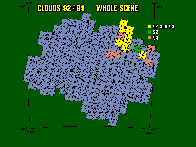
An assessment of the deforestation rate in areas covered by clouds is being produced based on adjacent regions available data.